Captiva
A collaborative geospatial platform for managing, visualising, and sharing digital twins — from raw point clouds to full BIM environments.
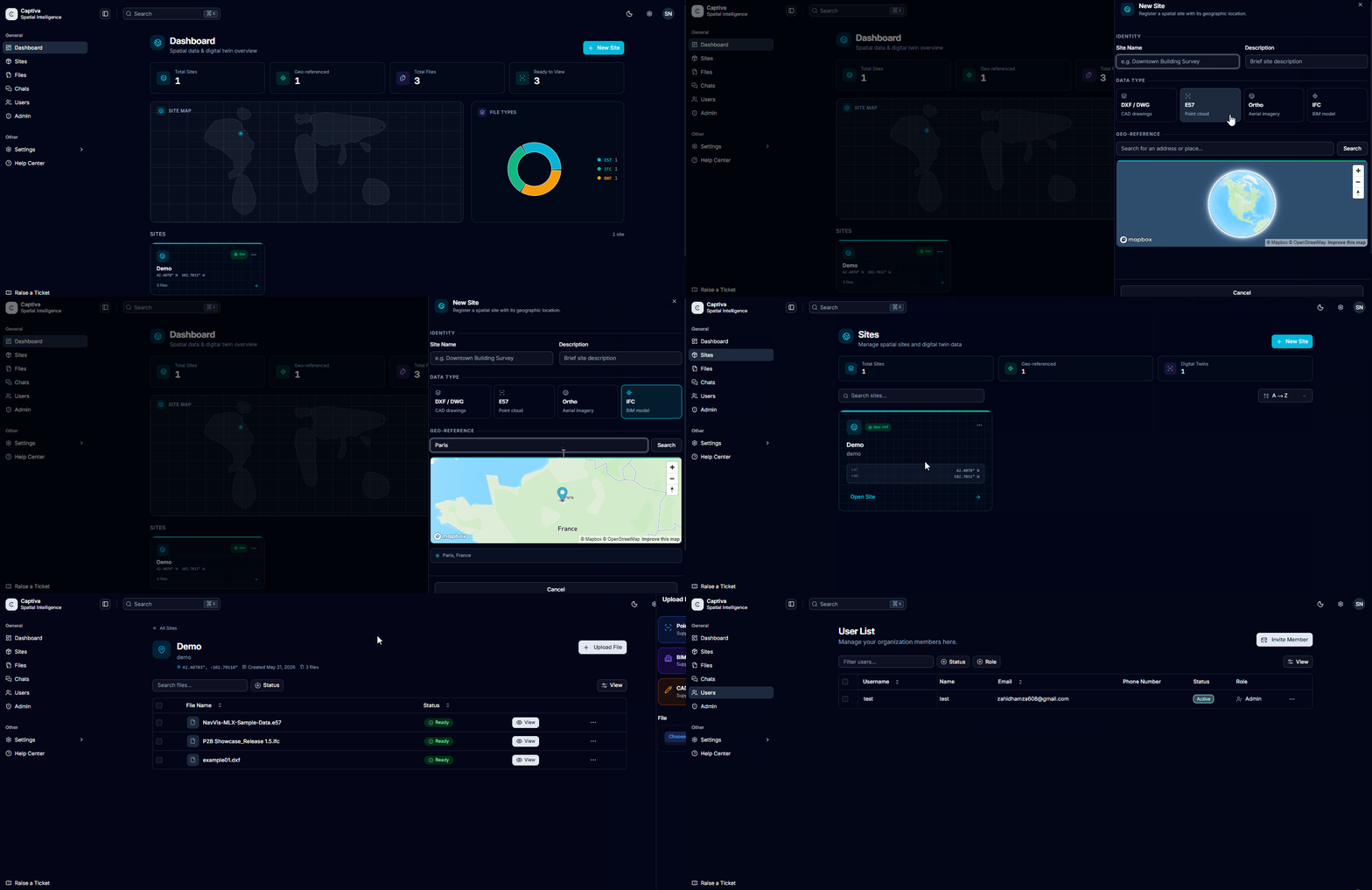
Unified Geospatial Data Management
Captiva centralises all your spatial data in one place. Upload and manage point clouds, BIM models, CAD drawings, and georeferenced imagery without juggling multiple tools. Organise projects, control access permissions, and share datasets with internal teams or external stakeholders through secure, shareable links — no software installation required on the recipient side.
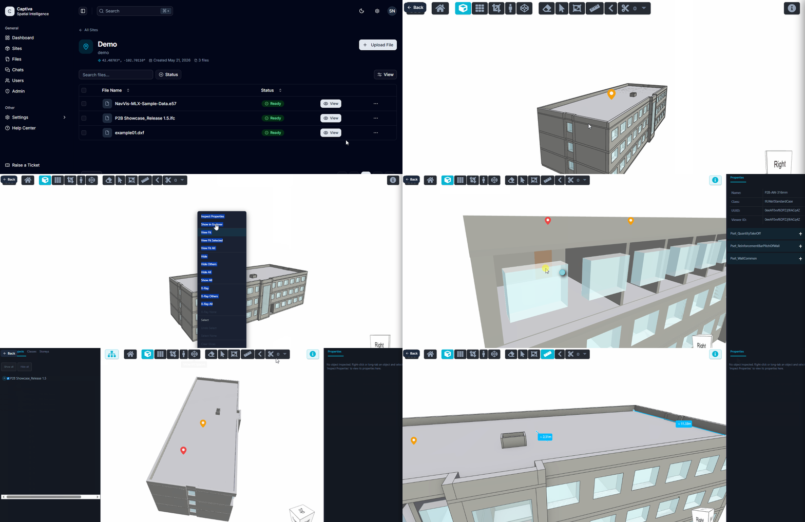
Smart 3D Viewers with Annotation Tools
Captiva's browser-based 3D viewers support both point cloud and BIM formats with no performance compromise. Engineers and inspectors can draw measurements directly in the scene, export annotated snapshots, pin Points of Interest with contextual notes, and create cross-section slices to expose internal geometry — turning a passive view into an active working environment.
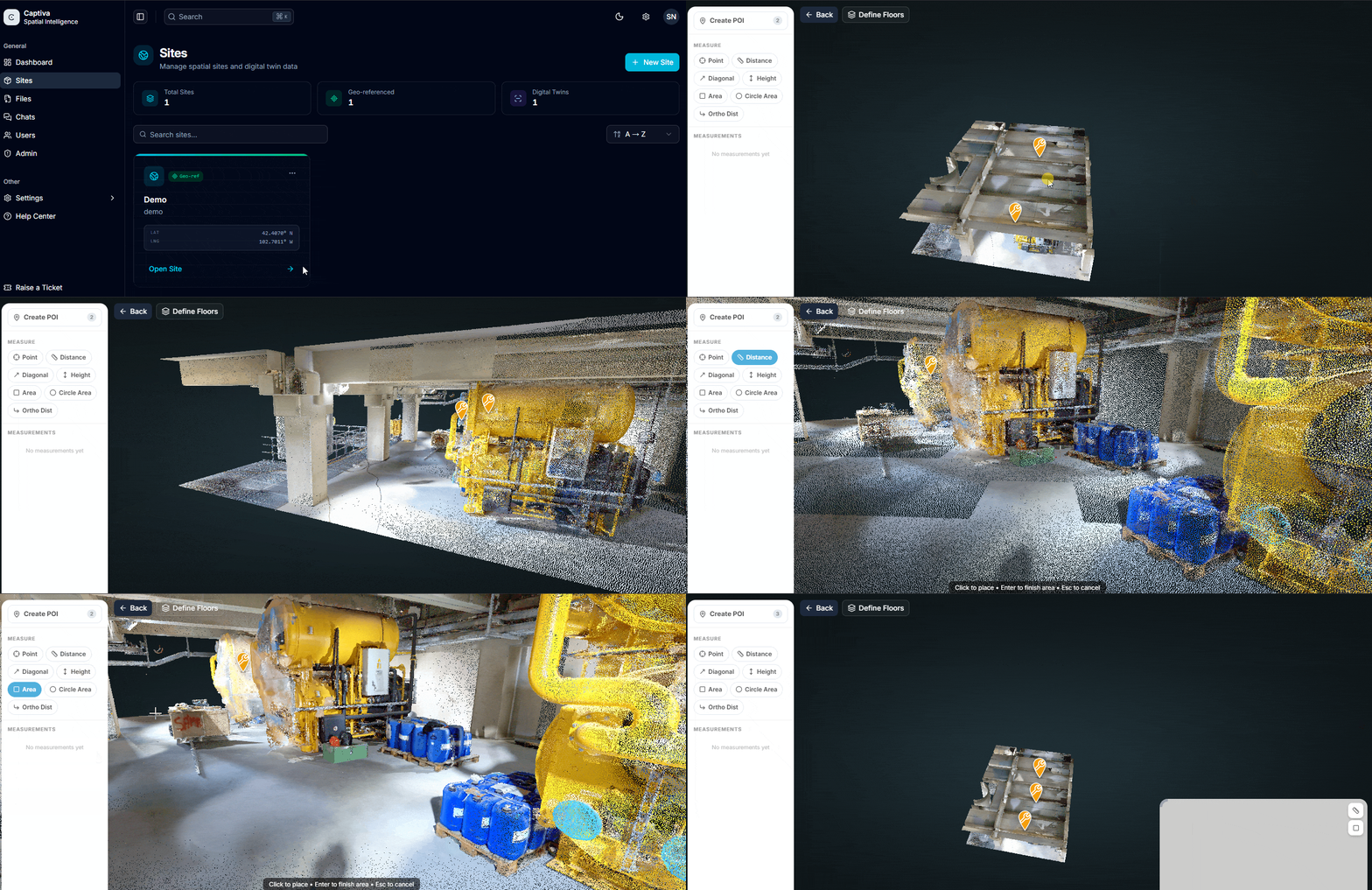
Team Collaboration Around Spatial Projects
Spatial data is most valuable when shared. Captiva lets you create teams, assign roles, and build a shared workspace around a geospatial project. Team members can leave comments tied to specific coordinates, track changes over time, and compare scan revisions side by side — reducing the back-and-forth between field and office and compressing project review cycles.
Ready to get started?
Explore the platform yourself or reach out to discuss how Captiva can fit your project.