Hamza Zahid
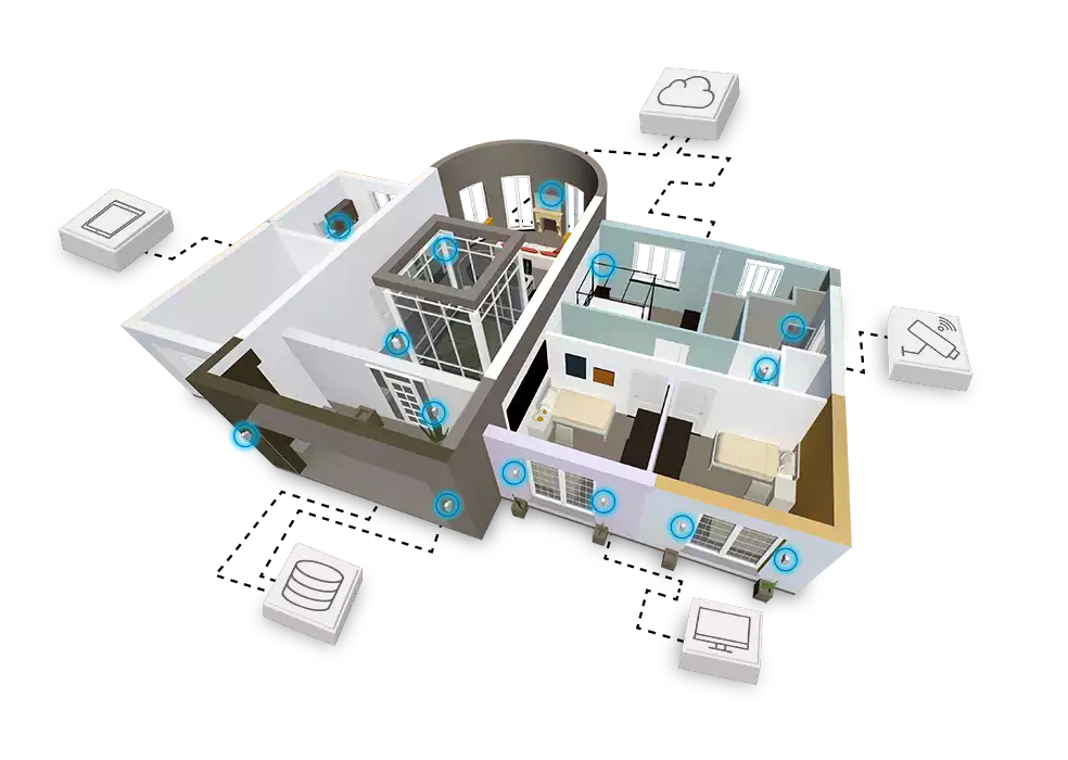
Geospatial Developer + Building Information & Modeling, Point Cloud Processing, IOT, and 5D Geoportals
Captiva — Collaborative Digital Twin Platform
A Geospatial platform for viewing, editing, sharing, and managing point cloud-based digital twins. Supports point clouds, imagery, CAD data, BIM models, and more.
Scientific Research & Publications
Academic work spanning geospatial data processing, 3D reconstruction, and spatial data infrastructures — published and accessible on ResearchGate.
Open Source Geospatial Tools
Utilities, ETL pipelines, and tools built around geodata processing — from CityGML parsers to IoT spatial ingestion pipelines, all open on GitHub.
Hi there
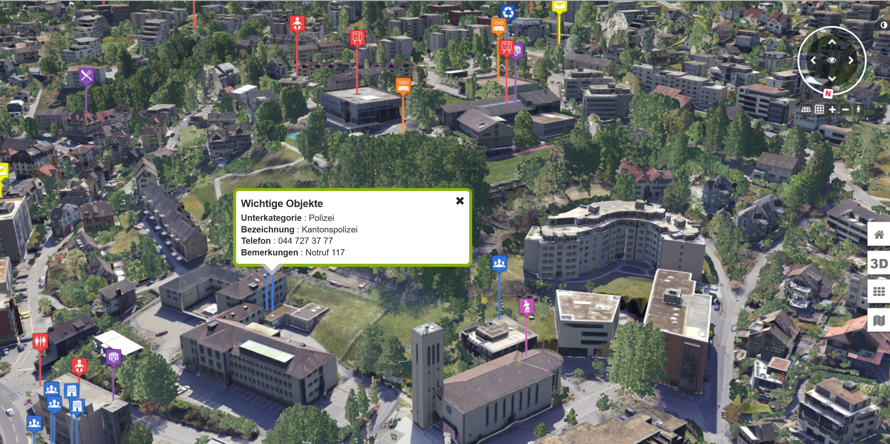
I'm Hamza — a fullstack developer specializing in geospatial technologies. I build production-ready solutions for processing and visualizing complex geodata: point clouds, imagery, CAD files, BIM models, CityGML, and real-time IoT streams. From spatial databases to interactive frontends, I own the entire stack.
My work sits at the intersection of software engineering and geospatial science — designing ETL pipelines, deploying scalable backends, and crafting interfaces that make dense spatial data immediately usable. If you're building in the GeoIT space or want to bring spatial intelligence into your product, let's talk.
Send me a message